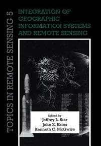
Integration of Geographic Information Systems and Remote Sensing
547 kr.
547 kr.
På lager
Fre., 31 jan. - ons., 5 feb.
Sikker betaling
14 dages åbent køb
Sælges og leveres af
Adlibris
Produktbeskrivelse
Remote sensing and geographic information systems (GIS) are inherently linked technologies. Together, they form a powerful tool to measure, map, monitor and model resources and environmental data for both scientific and commercial applications. Originally published in 1997, this book brought together work by leaders in the field to address improved techniques, applications and research in integrated remote sensing and geographical information systems. Among the topics covered are image rectification, change detection, visualisation, computer modelling, local land use planning, requirements of GIS in global change research, and potential directions for research. Remote sensing and GIS play a key role in studies of water resources, air quality, topography, land cover, and population location and dynamics, and specialists working at the local, regional and global levels will find this book a valuable and stimulating resource.
Varenr.
8c2e5e5e-aecd-55f7-8d9b-b70a097b481d
Integration of Geographic Information Systems and Remote Sensing
547 kr.
547 kr.
På lager
Fre., 31 jan. - ons., 5 feb.
Sikker betaling
14 dages åbent køb
Sælges og leveres af
Adlibris
Lignende topsælgere

Bright Beauty
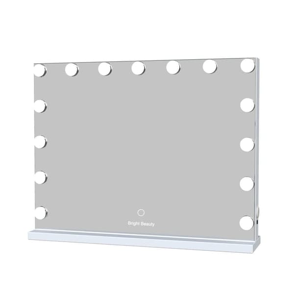
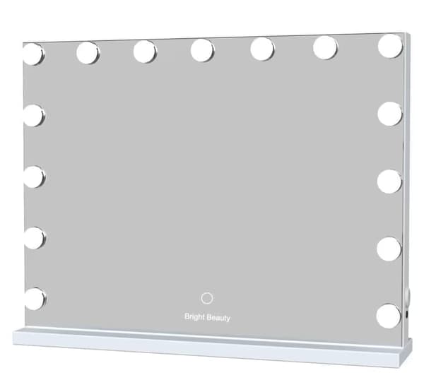
Bright Beauty Vanity Namira - make up spejl med belysning - hollywood spejl - schminke spejl med lys - hvid - dæmpbar med tre lystilstande
599 kr.
4,4(87)
mandag, 27 jan.

Generic
Timer til Klasselokalet - 60 minutter
169 kr.
4,2(56)
onsdag, 29 jan.

Bright Beauty Vanity
Bright Beauty Vanity Namira - make up spejl med belysning - hollywood spejl - schminke spejl med lys - hvid - dæmpbar med tre lystilstande
659 kr.
4,3(919)
mandag, 27 jan.

Bigzzia
2-i-1 foldeløbebånd, elektrisk løbebånd under skrivebordet, jogging til hjemmekontoret Sort
1.549 kr.
4,2(297)
tirsdag, 4 feb.

Fenchilin
FENCHILIIN Stor Hollywood Makeup Spejl med lys USB bordplade vægbeslag hvid 80 x 58 cm
982 kr.
4,5(182)
mandag, 27 jan.

CherrysC
Squid Game 2 Gonggi & Case Korean
85 kr.
onsdag, 5 feb.

Bright Beauty Vanity
Bright Beauty Vanity Namira - make up spejl med belysning - hollywood spejl - schminke spejl med lys - hvid - dæmpbar med tre lystilstande - roterbar
549 kr.
4,1(52)
mandag, 27 jan.

Bright Beauty Vanity
Bright Beauty Vanity Namira - make up spejl med belysning - hollywood spejl - schminke spejl med lys - hvid - dæmpbar med tre lystilstande
599 kr.
4,1(24)
mandag, 27 jan.

Generic
Knivssæt til Børn 6-dele - Børnevenlige knive
129 kr.
4,4(31)
mandag, 3 feb.

INF
INF Kraftig negleklipper til tykke tånegle
110 kr.
4,8(9)
fredag, 31 jan.
Anbefalede produkter

Sony PlayStation DualSense - White (PS5)
499 kr.
4,4(207)
mandag, 27 jan.

Otego
20-pak G4 halogenlamper 10W 12V - Varm hvid
102 kr.
4,8(29)
mandag, 3 feb.

Generic
Ørepuder til Bose QuietComfort - QC35/QC25/QC15/AE2 Hovedtelefoner Svart
69 kr.
4,5(721)
mandag, 3 feb.

IVOL
Flyseng / oppustelig fodstøtte / fodpude - 3 højdepositioner
171 kr.
Tidligere laveste pris:
172 kr.
4,2(4)
mandag, 27 jan.

Magnetic
Magnetic Tiles Kuglebane 88 dele
329 kr.
Tidligere laveste pris:
480 kr.
4,8(4)
mandag, 27 jan.

Bright Beauty Vanity
Bright Beauty Vanity Nina - makeup spejl -make up spejl med belysning - hollywood spejl - schminke spejl med lys - hvid - dæmpbar med tre lystilstande
439 kr.
4,0(238)
mandag, 27 jan.

Fenchilin
FENCHILIIN Hollywood Makeup Spejl Med Lys dæmpbar med tre lystilstande Bordplade vægbeslag hvid 58 x 46cm
695 kr.
4,6(195)
mandag, 27 jan.

Rattrix
Sammenfoldelig justerbar vægtbænk, 660 LB kapacitet - Kompakt og sammenfoldelig vægtbænk til hjemmegymnastik, fuld kropstræning B
549 kr.
5,0(3)
mandag, 3 feb.

GADGETMONSTER
GADGETMONSTER Vlogging Kit - Komplet vlogging-kit med LED-ringlys og gulvstativ
139 kr.
Tidligere laveste pris:
258 kr.
4,8(4)
fredag, 31 jan.

Mobil o Teknik
Blodtryksmåler til overarmen med hukommelsesfunktioner
159 kr.
4,0(145)
fredag, 31 jan.